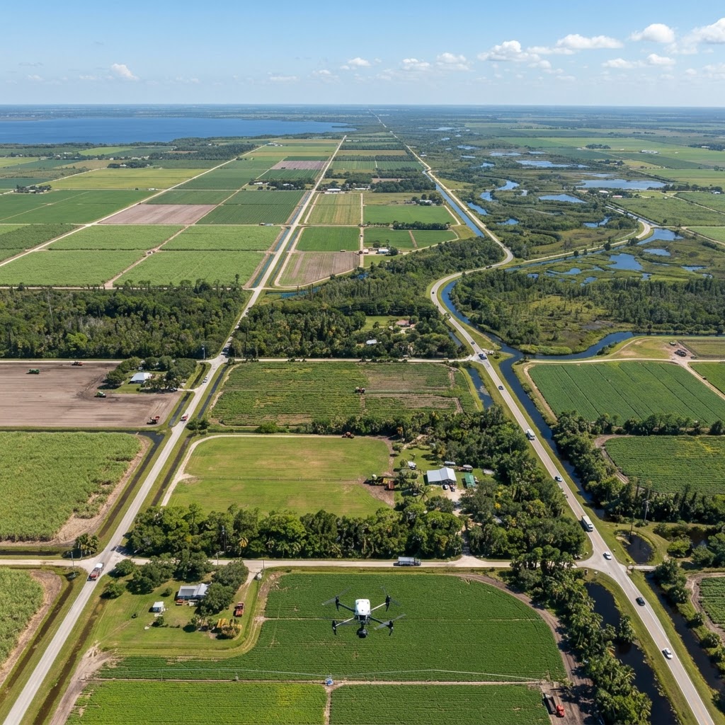
Aerial Mapping
Drone Mapping
High-resolution aerial mapping and topographic surveys using advanced drone photogrammetry. Accurate, geo-referenced maps for development, land management, and site planning across the Gulf Coast.
Precision Aerial Mapping Powered by Drone Photogrammetry
Drone mapping has revolutionized how land is surveyed, measured, and analyzed. Using advanced photogrammetry techniques, our drones capture hundreds of overlapping high-resolution images that are processed into accurate, measurable maps of any terrain. The result is a detailed, geo-referenced aerial map that can be used for measurements, volume calculations, contour analysis, and more.
3D Drone Services LLC provides professional drone mapping services for developers, engineers, surveyors, and land managers throughout the Gulf Coast of Florida. Our mapping solutions deliver the accurate spatial data you need for informed decision-making—at a fraction of the cost and time of traditional surveying methods.
Whether you're planning a new development, monitoring a construction site, managing agricultural land, or assessing a large property, our drone maps provide the comprehensive visual and spatial data you need to move forward with confidence.
How Drone Mapping Works
Our drone mapping process begins with flight planning. We define the mapping area, set the appropriate flight altitude and overlap percentage, and establish ground control points for maximum accuracy. The drone then flies an automated grid pattern, capturing hundreds or thousands of geo-tagged photographs.
After the flight, we process the imagery using professional photogrammetry software. This software stitches the individual photos together, using the overlap and geo-tag data to create a seamless, accurate map. The processing produces several deliverables: an orthomosaic map, a digital surface model (DSM), a digital terrain model (DTM), and 3D point clouds.
The entire process—from flight planning to final deliverables—typically takes 2–5 days depending on the size of the area and the level of detail required. For time-sensitive projects, we can expedite processing.
Mapping Deliverables and Applications
Our drone mapping service produces several key deliverables. The orthomosaic map is a high-resolution, geometrically corrected aerial image that can be used for precise measurements—every pixel is geo-referenced to real-world coordinates. Digital surface and terrain models provide elevation data for contour mapping, slope analysis, and water flow modeling.
3D point clouds offer a detailed three-dimensional representation of the terrain, useful for visualization and further analysis. Volumetric measurements allow you to calculate stockpile volumes, excavation quantities, and material volumes with high accuracy.
These deliverables have wide-ranging applications: site planning and development, topographic surveying, volumetric analysis for construction and mining, agricultural field mapping, environmental monitoring, flood risk assessment, and property boundary documentation. All outputs are GIS-compatible and can be imported into standard surveying and engineering software.
Accuracy and Quality You Can Trust
Our drone mapping achieves high accuracy through proper flight planning, appropriate image overlap, and the use of ground control points when survey-grade precision is needed. Horizontal accuracy is typically within 1–2 centimeters with ground control points, and vertical accuracy within 2–3 centimeters.
Every mapping project is tailored to your specific accuracy requirements and intended use. We discuss your needs in advance to ensure the final deliverables meet your specifications and are fit for your intended purpose.
Key Benefits
Frequently Asked Questions
With proper ground control points, our drone mapping achieves horizontal accuracy of 1–2 centimeters and vertical accuracy of 2–3 centimeters. The exact accuracy depends on flight altitude, image overlap, and whether ground control points are used.
Ready to Get Started?
Contact us today for a free consultation and custom quote. Our team is ready to help with your drone mapping needs.
Call 941-288-2614Get in Touch
Request Drone Mapping
Fill out the form below and we'll get back to you within 24 hours with a custom quote.

