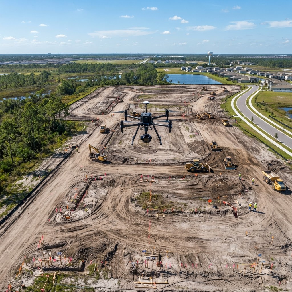
Aerial Surveying
Drone Surveying
Survey-grade aerial data collection using drone photogrammetry and ground control points. Accurate topographic surveys, elevation data, and 3D terrain models for engineering and development projects.
Survey-Grade Aerial Data Collection
Drone surveying represents a significant advancement in how land is measured and documented. By combining high-resolution drone imagery with precisely placed ground control points, we achieve survey-grade accuracy that rivals traditional methods—at a fraction of the cost and time. Our aerial surveys produce detailed topographic data, elevation models, and 3D terrain representations that engineers, developers, and planners rely on.
3D Drone Services LLC provides professional drone surveying services across the Gulf Coast of Florida. We work with engineering firms, developers, construction companies, and government agencies to deliver accurate, reliable spatial data for projects of all sizes.
Unlike traditional surveying, which requires teams of surveyors walking the site with equipment, drone surveying captures comprehensive data from above. This means faster data collection, safer operations, and more complete coverage—including areas that are difficult or dangerous to access on foot.
Ground Control Points and Accuracy
The key to survey-grade accuracy is the use of ground control points (GCPs). These are precisely surveyed markers placed across the site before the drone flight. The drone captures imagery of these markers, and the photogrammetry software uses them to anchor the map to exact real-world coordinates.
Our process begins with placing and surveying GCPs using RTK GPS equipment. We then fly the drone in an automated grid pattern, capturing hundreds of overlapping images. The imagery and GCP data are processed together to produce maps and models with centimeter-level accuracy.
For projects requiring the highest possible accuracy, we also offer RTK (Real-Time Kinematic) drone surveying, which uses onboard GPS correction to achieve precise positioning without the need for as many ground control points. This is ideal for large sites where placing GCPs would be impractical.
Survey Deliverables for Engineering and Development
Our drone surveying produces a comprehensive set of deliverables engineered for professional use. The topographic survey provides elevation data across the entire site, with contour lines at your specified interval. The digital elevation model (DEM) offers a detailed 3D representation of the terrain surface.
Point clouds provide dense, three-dimensional data that can be imported into CAD and BIM software for design and analysis. We also deliver orthorectified aerial imagery—maps where every pixel is corrected for camera distortion and terrain relief, allowing for precise measurements.
Additional deliverables include volumetric calculations for cut and fill analysis, cross-section profiles, and slope maps. All data is delivered in industry-standard formats compatible with AutoCAD Civil 3D, ArcGIS, QGIS, and other professional software platforms.
Applications Across Industries
Drone surveying serves a wide range of industries and applications. Civil engineers use our surveys for site design, grading plans, and earthwork calculations. Developers rely on our topographic data for feasibility studies and site planning. Construction companies use our surveys for pre-construction baselines and progress monitoring.
Environmental professionals use our elevation data for flood modeling, wetland delineation, and erosion monitoring. Agricultural operations benefit from our terrain analysis for drainage planning and field mapping. Whatever your industry, if you need accurate spatial data, drone surveying provides it faster and more cost-effectively than traditional methods.
Key Benefits
Frequently Asked Questions
When ground control points are used, drone surveying achieves centimeter-level accuracy comparable to traditional methods. For most engineering and development applications, drone surveying provides more than sufficient accuracy—with the added benefits of faster data collection and more complete coverage.
Ready to Get Started?
Contact us today for a free consultation and custom quote. Our team is ready to help with your drone surveying needs.
Call 941-288-2614Get in Touch
Request Drone Surveying
Fill out the form below and we'll get back to you within 24 hours with a custom quote.

